Moyle Hill photos
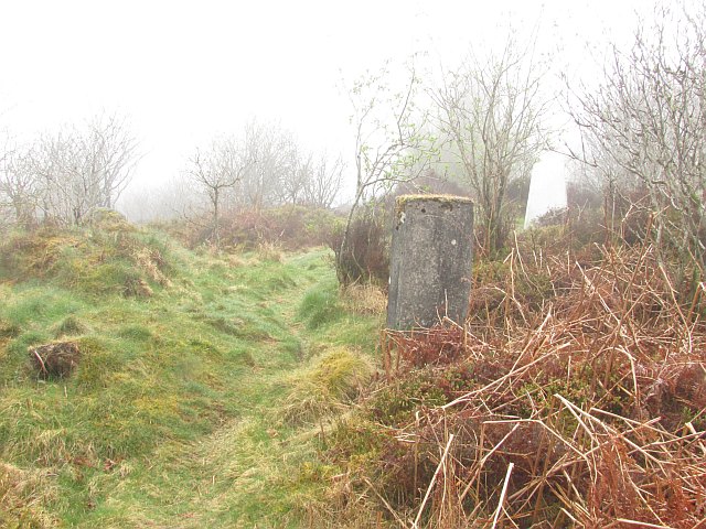
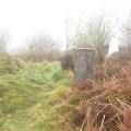
Summit, The Moyle
and licensed for reuse under this Creative Commons Licence
Hover over the map markers to see associated photo. Note, some markers show photographer's position whilst others show photo subject location.
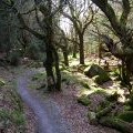
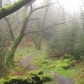
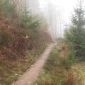
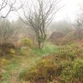
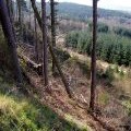
['Summit, The Moyle',54.9004,-3.79692,'/public/geophotos/1824568.jpg'],['Cycle Trail in Dalbeattie Forest',54.9011,-3.79851,'/public/geophotos/392744.jpg'],['Path on The Moyle',54.9008,-3.79897,'/public/geophotos/1824557.jpg'],['Mountain bike track on The Moyle',54.8993,-3.79859,'/public/geophotos/2022516.jpg'],['The Moyle',54.8991,-3.7964,'/public/geophotos/2025934.jpg'],['Western Side of Moyle Hill',54.8989,-3.79888,'/public/geophotos/392746.jpg']