Driesh photos
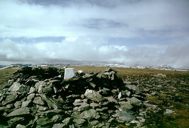
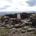
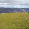
Driesh, a sheltered trig. point
and licensed for reuse under this Creative Commons Licence

Hover over the map markers to see associated photo. Note, some markers show photographer's position whilst others show photo subject location.
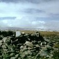
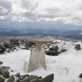
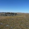
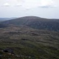
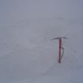
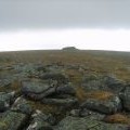
['Driesh, a sheltered trig. point',56.848,-3.19663,'/public/geophotos/1558860.jpg'],['Driesh Summit',56.848,-3.19663,'/public/geophotos/2507789.jpg'],['At the summit of Driesh',56.8479,-3.1965,'/public/geophotos/2874114.jpg'],['Driesh from the summit of Mayar',56.8479,-3.1963,'/public/geophotos/963293.jpg'],['Frost and snow covers the Trig on Dreish',56.8479,-3.1963,'/public/geophotos/1680887.jpg'],['On Driesh',56.8479,-3.1963,'/public/geophotos/1880111.jpg'],['The featureless summit dome of Driesh',56.8481,-3.1968,'/public/geophotos/93379.jpg'],['Driesh',56.8472,-3.19677,'/public/geophotos/228517.jpg'],['The featureless summit dome of Driesh (2)',56.849,-3.19519,'/public/geophotos/229194.jpg']