Yr Eifl North Top photos
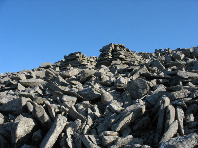
A ruined quarrymen's shelter on the scree slope at the back of the quarry
and licensed for reuse under this Creative Commons Licence
Hover over the map markers to see associated photo. Note, some markers show photographer's position whilst others show photo subject location.
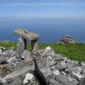
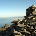
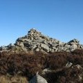
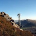
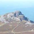
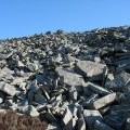
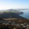
['A ruined quarrymen\'s shelter on the scree slope at the back of the quarry',52.9836,-4.44305,'/public/geophotos/701064.jpg'],['The summit cairns of Mynydd y Gwaith',52.984,-4.44307,'/public/geophotos/698112.jpg'],['Approaching the summit of Mynydd y Gwaith',52.9839,-4.44322,'/public/geophotos/700760.jpg'],['The cairns on Mynydd y Gwaith',52.9839,-4.44322,'/public/geophotos/1896350.jpg'],['Summit cairns on Mynydd Gwaith',52.9841,-4.44308,'/public/geophotos/691121.jpg'],['Below the main cairn of Mynydd y Gwaith',52.984,-4.44322,'/public/geophotos/698128.jpg'],['The Spectrasite-Transco mast from near the summit of Mynydd y Gwaith',52.9833,-4.44259,'/public/geophotos/701060.jpg'],['View of Garn For from the summit of Yr Eifl, Trefor',52.9833,-4.44259,'/public/geophotos/2638801.jpg'],['Boulder fall on the south-western side of the summit of Mynydd y Gwaith',52.9832,-4.44347,'/public/geophotos/701073.jpg'],['The scree strewn south-western slopes of the Mynydd y Gwaith',52.9835,-4.44379,'/public/geophotos/700757.jpg']