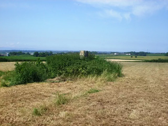
Tair Onnen
Tair Onnen is the 17120th highest peak in the British Isles and the 2282nd tallest in Wales
Also known as
Tair Onen (Pantylladron)
Elevation
137.3 m (450 ft)
Prominence
70.0 m (230 ft)
Survey method
Leica NA730/Leica GS15
Features
Ground by trig point
Category
- Tump (100-199m)
- Current County/UA Top
Nearest town
OS map sheets
OS25: 151E (Cardiff & Bridgend / Caerdydd a Phen-y-bont ar Ogw)OS50: 170 (Vale of Glamorgan, Rhondda & Porthcawl)
Notes & comments
Replaces hill 7821, which is 1.2m lower, as the County Top of the Vale of Glamorgan. Maes y Ward at ST034752 is 0.4m lower.