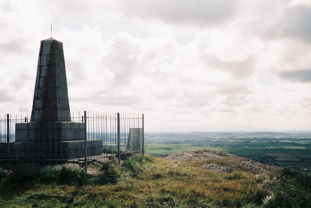
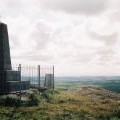
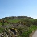
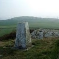
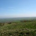
Mynydd y Garn photos
Llanfairynghornwy: view across Anglesey
and licensed for reuse under this Creative Commons Licence


Hover over the map markers to see associated photo. Note, some markers show photographer's position whilst others show photo subject location.
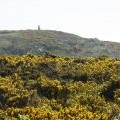
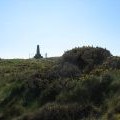
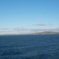
['Llanfairynghornwy: view across Anglesey',53.3859,-4.53521,'/public/geophotos/455489.jpg'],['The summit of Mynydd y Garn from the stile near Waen-lydan',53.3862,-4.53508,'/public/geophotos/1269810.jpg'],['Trig pillar Mynydd y Garn',53.3858,-4.53506,'/public/geophotos/1885418.jpg'],['Triangulation pillar on Mynydd y Garn',53.3856,-4.53504,'/public/geophotos/1270211.jpg'],['The summit of Mynydd y Garn seen through a sea of gorse',53.3856,-4.53489,'/public/geophotos/1269800.jpg'],['Monument on the summit of Mynydd y Garn',53.3857,-4.53475,'/public/geophotos/1270107.jpg'],['Rough grazing on the National Trust-owned summit of Mynydd y Garn',53.3858,-4.53385,'/public/geophotos/1270148.jpg'],['Mynydd y Garn and Carmel Head from Holyhead Bay',53.3848,-4.53439,'/public/geophotos/2240844.jpg'],['Mynydd y Garn, Anglesey',53.3853,-4.53653,'/public/geophotos/49640.jpg']