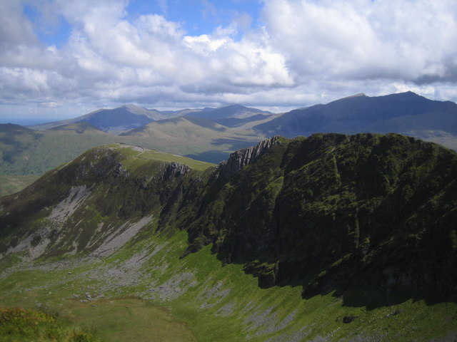
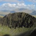
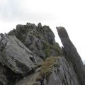
Mynydd Drws-y-coed photos
Mynydd Drwys y Coed
and licensed for reuse under this Creative Commons Licence
Hover over the map markers to see associated photo. Note, some markers show photographer's position whilst others show photo subject location.
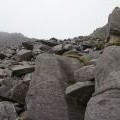
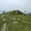
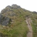
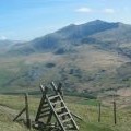
['Mynydd Drwys y Coed',53.0442,-4.16615,'/public/geophotos/1941656.jpg'],['Clogwyn Marchnad',53.0444,-4.16601,'/public/geophotos/1512537.jpg'],['Y Garn and Mynydd Drws-y-Coed from Trym y Ddysgl',53.0443,-4.16556,'/public/geophotos/1348384.jpg'],['Rock outcrops near to Mynydd Drws-y-coed',53.0447,-4.16603,'/public/geophotos/2984383.jpg'],['Mynydd Drws-y-coed',53.043,-4.16609,'/public/geophotos/1889297.jpg'],['Narrow path on Mynydd Drws-y-coed',53.0445,-4.16542,'/public/geophotos/2984392.jpg'],['Ladder stile at Mynydd Drws y Coed',53.0428,-4.16608,'/public/geophotos/2202051.jpg'],['Mynydd Drws-y-coed seen from Trum y Ddysgl',53.0444,-4.16526,'/public/geophotos/1512549.jpg'],['The col between Trym y Ddysgl and Mynydd Drws-y-Coed in the Nantlle Hills',53.0431,-4.1655,'/public/geophotos/304561.jpg'],['The summit rocks of Mynydd Drws-y-coed',53.044,-4.16465,'/public/geophotos/1512528.jpg']
