Meikle Bin photos
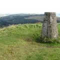
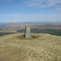
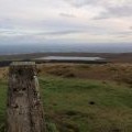
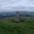
Meikle Bin summit and triangulation pillar
and licensed for reuse under this Creative Commons Licence
Hover over the map markers to see associated photo. Note, some markers show photographer's position whilst others show photo subject location.
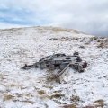
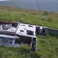
['Meikle Bin summit and triangulation pillar',56.014,-4.13947,'/public/geophotos/2615640.jpg'],['Meikle Bin Trig Point',56.0138,-4.13946,'/public/geophotos/1849197.jpg'],['Meikle Bin trig point',56.0138,-4.13962,'/public/geophotos/2650853.jpg'],['The summit of Meikle Bin',56.0137,-4.1393,'/public/geophotos/2004040.jpg'],['Fairy grass on Meikle Bin summit',56.014,-4.13867,'/public/geophotos/2004080.jpg'],['Meikle Bin',56.0132,-4.13975,'/public/geophotos/162821.jpg'],['Storm Clouds over Meikle Binn',56.0132,-4.13975,'/public/geophotos/1464159.jpg'],['Engine From Fairey Firefly On Meikle Bin & Carron Valley Forest',56.0141,-4.14067,'/public/geophotos/1400920.jpg'],['Wing Section Of Fairey Firefly On Meikle Bin',56.0146,-4.14079,'/public/geophotos/1400913.jpg'],['Aircraft wreckage',56.0141,-4.14141,'/public/geophotos/199293.jpg']

