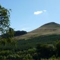
East Lomond photos
East Lomond Summit

and licensed for reuse under this Creative Commons Licence


Hover over the map markers to see associated photo. Note, some markers show photographer's position whilst others show photo subject location.
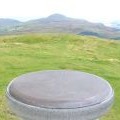
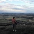
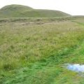
['East Lomond Summit',56.2423,-3.22107,'/public/geophotos/1449362.jpg'],['East Lomond Hill - 1983',56.2421,-3.22107,'/public/geophotos/2228274.jpg'],['East Lomond hill',56.2425,-3.22108,'/public/geophotos/2061349.jpg'],['Sailing Close to the Wind',56.2424,-3.22075,'/public/geophotos/1449379.jpg'],['Track up East Lomond',56.2426,-3.22076,'/public/geophotos/880134.jpg'],['It\'s Quicker by Foot',56.2414,-3.22105,'/public/geophotos/1449376.jpg'],['Orientation table',56.2425,-3.22043,'/public/geophotos/880113.jpg'],['Viewpoint on East Lomond',56.2425,-3.22043,'/public/geophotos/1365809.jpg'],['We Have Lift-Off',56.2417,-3.22218,'/public/geophotos/1449386.jpg'],['East Lomond Trig Point',56.2414,-3.22056,'/public/geophotos/1365831.jpg']