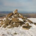
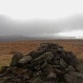
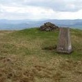
Dundreich photos
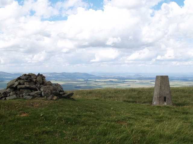
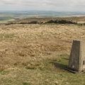
View north from Dundreich summit
and licensed for reuse under this Creative Commons Licence
Hover over the map markers to see associated photo. Note, some markers show photographer's position whilst others show photo subject location.
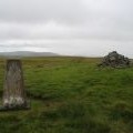
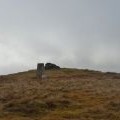
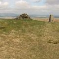
['View north from Dundreich summit',55.7298,-3.15646,'/public/geophotos/212343.jpg'],['Cairn and trig point, Dundreich',55.7296,-3.15645,'/public/geophotos/2783888.jpg'],['Dundreich from the southwest on St Andrew\'s Day',55.7298,-3.1563,'/public/geophotos/1602286.jpg'],['Triangulation pillar, Dundreich',55.7297,-3.15629,'/public/geophotos/1868275.jpg'],['Dundreich Trig Point',55.7297,-3.15629,'/public/geophotos/2134648.jpg'],['The Trig Point 622m and the Summit Cairn 623m, Dundreich',55.7295,-3.15676,'/public/geophotos/2295246.jpg'],['Summit, Dundreich',55.7299,-3.15614,'/public/geophotos/2098111.jpg'],['Summit cairn, Dundreich',55.7294,-3.15692,'/public/geophotos/2783878.jpg'],['Looking Southeast from the Summit Cairn on Dundreich 623m',55.7295,-3.15724,'/public/geophotos/2295251.jpg'],['Dundreich',55.7298,-3.15757,'/public/geophotos/211793.jpg']