Cnoc Bad a'Choille photos
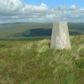
Cnoc Bad a' Choille trig point
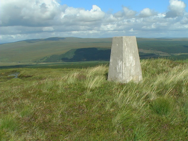
and licensed for reuse under this Creative Commons Licence
Hover over the map markers to see associated photo. Note, some markers show photographer's position whilst others show photo subject location.
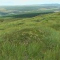
['Cnoc Bad a\' Choille trig point',57.9517,-4.79619,'/public/geophotos/1426093.jpg'],['Dry mound over-looking Strath Oykel from the ridge of Cnoc Bad a\' Choille',57.9528,-4.79763,'/public/geophotos/1426095.jpg']