Carn a'Chlamain photos
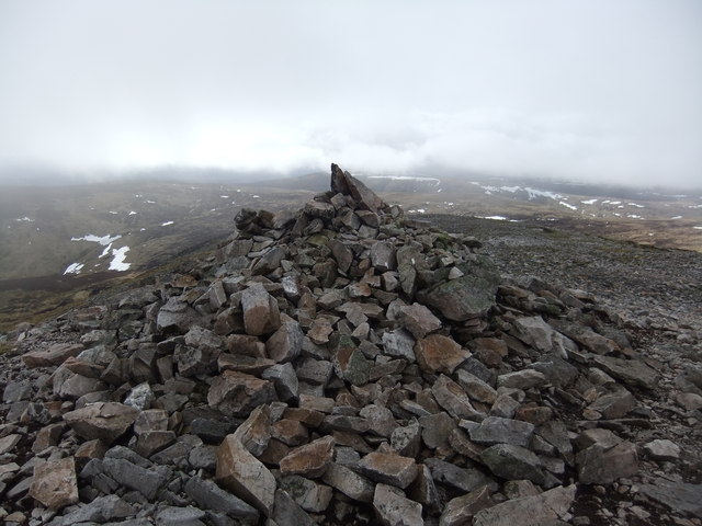
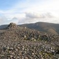
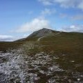
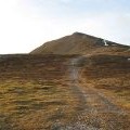
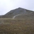
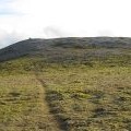
Carn a' Chlamain summit
and licensed for reuse under this Creative Commons Licence

Hover over the map markers to see associated photo. Note, some markers show photographer's position whilst others show photo subject location.
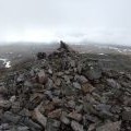
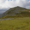
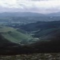
['Carn a\' Chlamain summit',56.8608,-3.77964,'/public/geophotos/2849026.jpg'],['The summit of Carn a\' Chlamain',56.861,-3.77981,'/public/geophotos/515778.jpg'],['Lower Glen Tilt',56.861,-3.77981,'/public/geophotos/1676332.jpg'],['Summit of Carn a\' Chlamain',56.8609,-3.77948,'/public/geophotos/142161.jpg'],['The summit, Carn a\' Chlamhain',56.8609,-3.77981,'/public/geophotos/1047911.jpg'],['Approaching the summit of Carn a\'Chlamhain (\'hill of the kite or buzzard\')',56.8609,-3.77981,'/public/geophotos/2518495.jpg'],['Track on Carn a\' Chlamhain',56.8607,-3.7798,'/public/geophotos/1048375.jpg'],['Carn a\' Chlamain',56.8606,-3.7798,'/public/geophotos/1402501.jpg'],['Carn a\' Chlamhain',56.8613,-3.78048,'/public/geophotos/1054080.jpg']