Creag Mhor East Top photo
Summit as marked on the 1:50,000 map
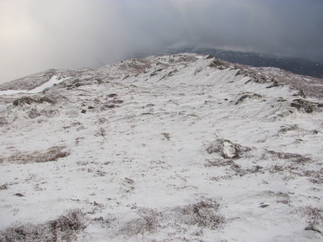
It is outtopped by unmapped high ground to the west (765m on the 1:25,000 map) and higher ground to the north west. Typical landscape on Creag Mhòr, lots of small craggy ridges.
© Richard Webb and licensed for reuse under this Creative Commons Licence
Taken at: Creag Mhor East Top, near Kingussie
Date taken / added: 30th Jan 2011