The Wrekin photos
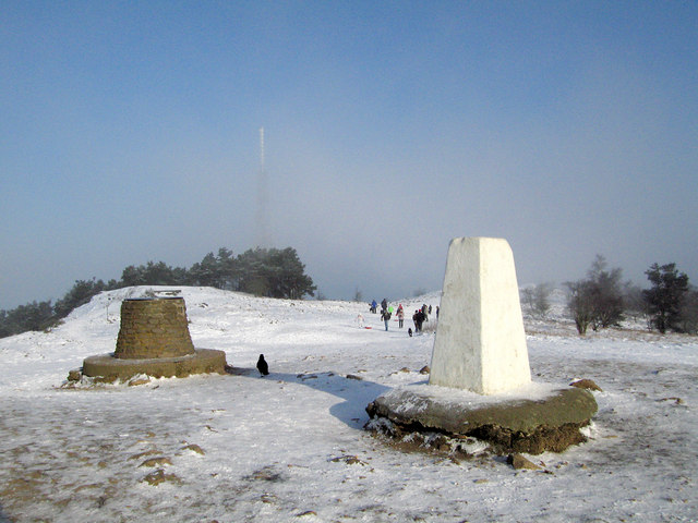
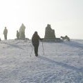
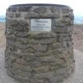
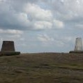
Toposcope, tower and trig on the Wrekin
and licensed for reuse under this Creative Commons Licence

Hover over the map markers to see associated photo. Note, some markers show photographer's position whilst others show photo subject location.
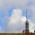
['Toposcope, tower and trig on the Wrekin',52.6695,-2.5511,'/public/geophotos/1655751.jpg'],['The Wrekin toposcope & trig post',52.6692,-2.55109,'/public/geophotos/798504.jpg'],['The summit of The Wrekin',52.6693,-2.55124,'/public/geophotos/798502.jpg'],['Toposcope and Trig Post',52.6691,-2.55095,'/public/geophotos/1087136.jpg'],['Top of the Wrekin (407m)',52.6693,-2.55139,'/public/geophotos/1655718.jpg'],['Wrekin Toposcope',52.6693,-2.55139,'/public/geophotos/2528772.jpg'],['The Wrekin',52.6693,-2.55065,'/public/geophotos/1145841.jpg'],['1335 Feet',52.6692,-2.55139,'/public/geophotos/2528785.jpg'],['Wrekin Summit',52.6692,-2.55154,'/public/geophotos/2528738.jpg'],['The Wrekin, walkers, mast and trig point',52.6693,-2.55169,'/public/geophotos/2070075.jpg']