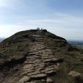
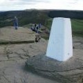
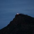
Roseberry Topping photos
Roseberry Topping
and licensed for reuse under this Creative Commons Licence
Hover over the map markers to see associated photo. Note, some markers show photographer's position whilst others show photo subject location.
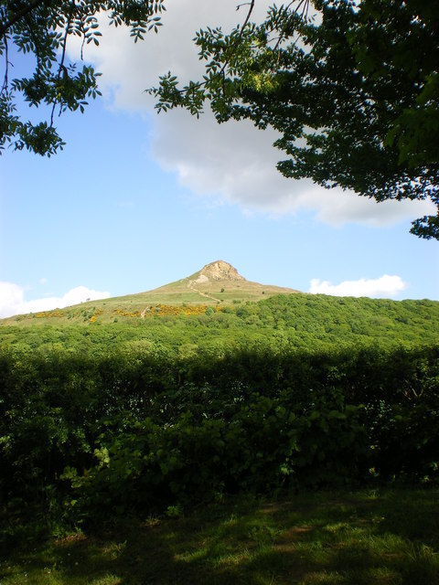
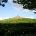
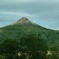
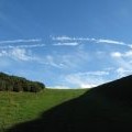
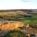
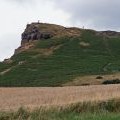
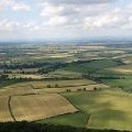
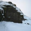
['Roseberry Topping',54.5054,-1.10736,'/public/geophotos/1894949.jpg'],['Roseberry Topping from the A173',54.5054,-1.10736,'/public/geophotos/2005803.jpg'],['Aeroplane trails across the sky',54.5054,-1.10736,'/public/geophotos/2128510.jpg'],['Summit Rocks, Roseberry Topping',54.5053,-1.10736,'/public/geophotos/1548142.jpg'],['Roseberry Topping',54.5053,-1.10721,'/public/geophotos/925269.jpg'],['Another view from Roseberry Topping',54.5056,-1.10735,'/public/geophotos/874233.jpg'],['Snow-drifts on the summit of Roseberry Topping',54.5054,-1.10751,'/public/geophotos/1631599.jpg'],['Roseberry Topping',54.5054,-1.10705,'/public/geophotos/2836246.jpg'],['Roseberry Topping summit view towards Roseberry Common',54.5052,-1.10736,'/public/geophotos/2083116.jpg'],['Jubilee Beacon on Roseberry',54.5052,-1.10736,'/public/geophotos/2981031.jpg']