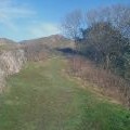
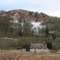
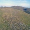
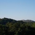
Ragged Stone Hill photos
Ragged Stone Hill

and licensed for reuse under this Creative Commons Licence

Hover over the map markers to see associated photo. Note, some markers show photographer's position whilst others show photo subject location.
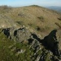
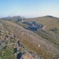
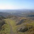
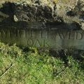
['Ragged Stone Hill',52.0249,-2.35199,'/public/geophotos/16196.jpg'],['Rock outcrops on Ragged Stone Hill',52.0259,-2.35178,'/public/geophotos/1628722.jpg'],['Summit of Ragged Stone Hill',52.0257,-2.35149,'/public/geophotos/1439286.jpg'],['Ragged Stone Hill outcrops',52.0251,-2.35207,'/public/geophotos/1439211.jpg'],['Boundary marker on Ragged Stone Hill',52.0251,-2.35221,'/public/geophotos/1628702.jpg'],['Path to the top of Ragged Stone Hill',52.025,-2.35207,'/public/geophotos/1439203.jpg'],['Ragged Stone Hill and Westfields',52.0255,-2.35265,'/public/geophotos/335774.jpg'],['Northern top of Ragged Stone Hill',52.0263,-2.35251,'/public/geophotos/1439291.jpg'],['View from eastern peak of Ragged Stone Hill looking north',52.0255,-2.3512,'/public/geophotos/35152.jpg'],['View East from Ragged Stone Hill (towards Bredon Hill)',52.0255,-2.3512,'/public/geophotos/35217.jpg']