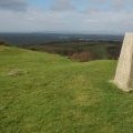
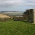
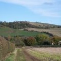
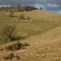
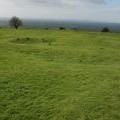
Oxenton Hill photos
Trig Point on Oxenton Hill
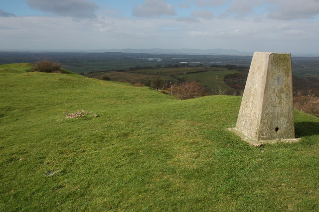
and licensed for reuse under this Creative Commons Licence
Hover over the map markers to see associated photo. Note, some markers show photographer's position whilst others show photo subject location.
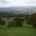
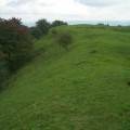
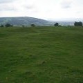
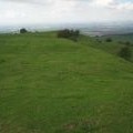
['Trig Point on Oxenton Hill',51.9814,-2.04072,'/public/geophotos/713321.jpg'],['Trig Point on Oxenton Hill',51.9812,-2.04072,'/public/geophotos/713326.jpg'],['The top of Oxenton Hill',51.9811,-2.04072,'/public/geophotos/247709.jpg'],['the view North',51.9811,-2.04072,'/public/geophotos/248085.jpg'],['the view East',51.9811,-2.04072,'/public/geophotos/248086.jpg'],['the view South',51.9811,-2.04072,'/public/geophotos/248087.jpg'],['the view West',51.9811,-2.04072,'/public/geophotos/248088.jpg'],['Oxenton Hill',51.9802,-2.04072,'/public/geophotos/67960.jpg'],['Woolstone Hill',51.9811,-2.03868,'/public/geophotos/713335.jpg'],['The Knolls, Oxenton Hill',51.9811,-2.04189,'/public/geophotos/714076.jpg']