Havering Atte Bower farm
Havering Atte Bower farm is the 18306th highest peak in the British Isles and the 3942nd tallest in England
Elevation
105.0 m (344 ft)
Prominence
3.0 m (10 ft)
Features
No feature: ground on N verge of road
Category
- London Borough twin-Top
Nearest town
OS map sheets
OS25: 175W (Southend-on-Sea & Basildon)OS50: 177 (East London, Billericay & Gravesend)
Notes & comments
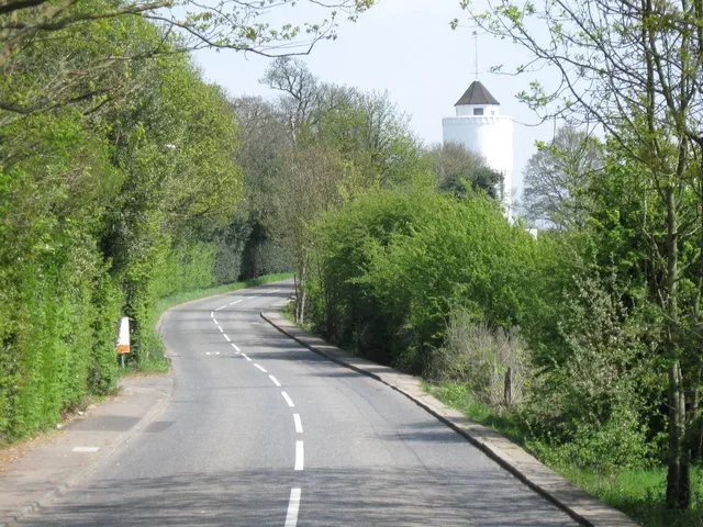
105m contour near Round House Farm. Also check by the water tower