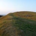
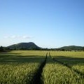
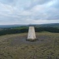
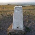
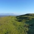
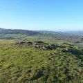
Earl's Hill photos
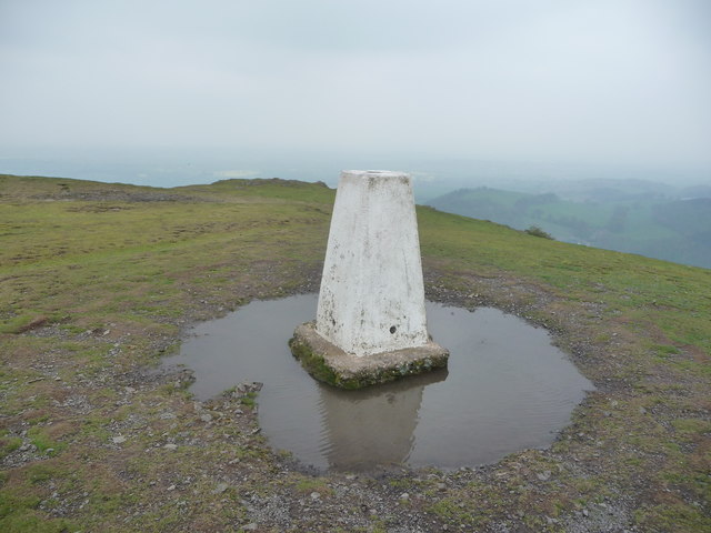
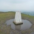
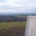
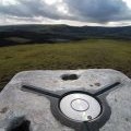
Earl's Hill trig point
and licensed for reuse under this Creative Commons Licence
Hover over the map markers to see associated photo. Note, some markers show photographer's position whilst others show photo subject location.
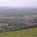
['Earl\'s Hill trig point',52.638,-2.87418,'/public/geophotos/2926387.jpg'],['Earls hill triangulation pillar',52.6383,-2.87418,'/public/geophotos/763690.jpg'],['Pontesbury from Earl\'s Hill',52.638,-2.87447,'/public/geophotos/1096134.jpg'],['Earls Hill summit trig point from the western ramparts',52.6381,-2.87462,'/public/geophotos/1936505.jpg'],['Earls Hill from the south',52.638,-2.87462,'/public/geophotos/889329.jpg'],['Earl\'s Hill trig point',52.638,-2.87462,'/public/geophotos/1491532.jpg'],['Earls Hill summit trig point on a June evening',52.638,-2.87462,'/public/geophotos/1936511.jpg'],['Earthworks on the northern side of Earl\'s Hill',52.6385,-2.87389,'/public/geophotos/2236567.jpg'],['Trig top on Earl\'s Hill',52.6379,-2.87477,'/public/geophotos/1136565.jpg'],['The true summit of Earl\'s Hill',52.6383,-2.87477,'/public/geophotos/2236576.jpg']