Bedham Hill photos
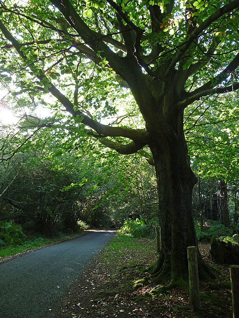
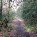
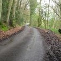
Bedham Lane, Bedham (2)
and licensed for reuse under this Creative Commons Licence
Hover over the map markers to see associated photo. Note, some markers show photographer's position whilst others show photo subject location.
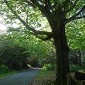
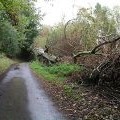
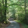
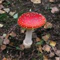
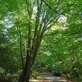
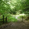
['Bedham Lane, Bedham (2)',50.9899,-0.5562,'/public/geophotos/2083617.jpg'],['Fallen Beech tree on Wakestone Lane',50.9885,-0.555248,'/public/geophotos/258427.jpg'],['Bedham Lane, Bedham (1)',50.9894,-0.557926,'/public/geophotos/2083534.jpg'],['Fairy tale toadstool',50.9894,-0.558068,'/public/geophotos/259624.jpg'],['North end of footpath from Mitfords Copse',50.9892,-0.558074,'/public/geophotos/1264403.jpg'],['Wakestone Lane, Bedham',50.9892,-0.558216,'/public/geophotos/2083543.jpg'],['Start of bridleway 3246',50.9897,-0.558487,'/public/geophotos/2564008.jpg'],['Country road from Bedham Copse to the A272',50.9906,-0.558175,'/public/geophotos/1258322.jpg']