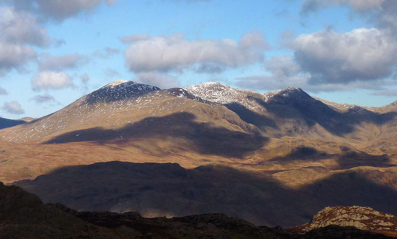
Scafell photos
The highest land in England
and licensed for reuse under this Creative Commons Licence
Hover over the map markers to see associated photo. Note, some markers show photographer's position whilst others show photo subject location.
['The highest land in England',54.4471,-3.22472,'/public/geophotos/3320510.jpg'],['Scafell viewed from the road to the NT campsite',54.4479,-3.2249,'/public/geophotos/506414.jpg'],['Wind Shelter Scafell',54.4468,-3.22456,'/public/geophotos/1228450.jpg'],['Cloud drifting across Scafell',54.4487,-3.22462,'/public/geophotos/2610315.jpg'],['Foxes Tarn, Scafell',54.4471,-3.22118,'/public/geophotos/6069402.jpg'],['Mickledore and Scafell Crag',54.4502,-3.22096,'/public/geophotos/1475580.jpg'],['Broad Stand',54.4507,-3.22067,'/public/geophotos/5052339.jpg'],['Scafell and Mickledore from Scafell Pike',54.4512,-3.22038,'/public/geophotos/2601385.jpg'],['View from Scafell towards Wastwater',54.4501,-3.23314,'/public/geophotos/1329650.jpg'],['On Scafell',54.4478,-3.22475,'/public/geophotos/2911108.jpg'],['On Scafell',54.4477,-3.2249,'/public/geophotos/5258984.jpg'],['Windshelter & seats near Scafell\'s summit',54.4476,-3.22443,'/public/geophotos/1329722.jpg'],['Summit Cairn, Scafell',54.4472,-3.22457,'/public/geophotos/1329677.jpg'],['Scafell',54.4477,-3.22443,'/public/geophotos/1228425.jpg'],['Snow on Scafell',54.4472,-3.22442,'/public/geophotos/5617194.jpg'],['Summit Cairn, Scafell',54.4471,-3.22442,'/public/geophotos/1228452.jpg'],['On Scafell',54.448,-3.22444,'/public/geophotos/2687659.jpg'],['Sca Fell Summit Cairn and Symonds Knott.',54.4468,-3.22441,'/public/geophotos/246540.jpg'],['Sca Fell Summit Cairn.',54.4468,-3.22441,'/public/geophotos/246542.jpg'],['Scafell and Scafell Pike from Harter Fell',54.4465,-3.22486,'/public/geophotos/3195692.jpg'],['East Buttress',54.4505,-3.22051,'/public/geophotos/1673823.jpg']


